
1925 Map of Meadville
USGS Topo · Published 1925About this map
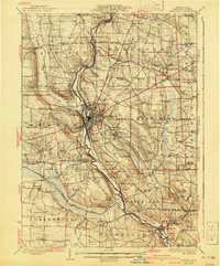
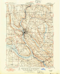
French Creek carves a deep valley through the center of this Crawford County landscape, serving as the primary corridor for both the Erie R R and the Northwestern Electric rail lines. The city of Meadville dominates the central junction, surrounded by a dense network of township schools such as Ellis School and Richmond School. The 1923 survey reveals a rural economy organized around small crossroads like Blooming Valley and Littles Corner, while the southwest is defined by the broad wetlands of Conneaut Marsh. One unique landmark, Ponce de Leon Spring, appears south of the city, highlighting the local geography alongside the County Farm. This era shows the early integration of state highways like State Highway No. 85 with older river-bottom routes, illustrating the transition from steam and electric rail to the automobile age.
Find a feature on this map
112 named features on this map. Tap any name to fly to it.
Don’t see what you’re looking for? This feature index may not catch every label — zoom into the map to look around manually.
Map Details
Editions of this 1925 Meadville Map
3 editions found
Other maps of this area

1900 · Girard
USGS Topo · 1:62,500

1906 · Linesville
USGS Topo · 1:62,500

1908 · Shenango
USGS Topo · 1:62,500

1908 · Linesville
USGS Topo · 1:62,500

1909 · Franklin
USGS Topo · 1:62,500

1911 · Franklin
USGS Topo · 1:62,500

1911 · Stoneboro
USGS Topo · 1:62,500

1913 · Stoneboro
USGS Topo · 1:62,500

1923 · Meadville
USGS Topo · 1:62,500

1923 · Cambridge Springs
USGS Topo · 1:62,500