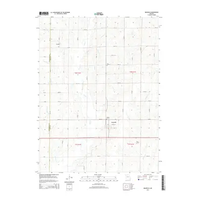
2015 Map of Meadville
USGS Topo · Published 2015About this map
Meadville serves as the central hub of this northern Missouri landscape, situated near the intersection of Mo-Y and E Crandall St. The surrounding terrain is defined by a dense network of waterways including Parson Cr, Lousy Cr, and Coon Cr, which carve through the agricultural sections of the Linn and Livingston County border. The rural character of the area is further evidenced by smaller settlements like Lowell and a variety of family and community landmarks.
Find a feature on this map
41 named features on this map. Tap any name to fly to it.
Don’t see what you’re looking for? This feature index may not catch every label — zoom into the map to look around manually.
Map Details
Editions of this 2015 Meadville Map
This is the sole edition of this map. No revisions or reprints were ever made.
Other maps of this area

1924 · Chula
USGS Topo · 1:62,500

1924 · Hale
USGS Topo · 1:62,500

1946 · Brookfield
USGS Topo · 1:62,500

1947 · Chula
USGS Topo · 1:62,500

1948 · Brookfield
USGS Topo · 1:62,500

1949 · Sumner
USGS Topo · 1:24,000

1950 · Sumner
USGS Topo · 1:24,000

1951 · Hale
USGS Topo · 1:62,500

1953 · Moberly
USGS Topo · 1:250,000

1954 · Moberly
USGS Topo · 1:250,000