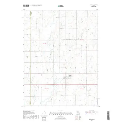
2017 Map of Meadville
USGS Topo · Published 2017About this map
The town of Meadville serves as the focal point for this landscape along the border of Livingston and Linn counties. Situated just north of the wetlands and drainage basins of Parson Creek, the community is surrounded by a network of rural routes such as Bartok Road and County Road EE. The map identifies several historical burial grounds, including the Meadville Cemetery on the edge of town, Botts Cemetery to the north, and Bethel Cemetery to the southeast near Hickory Branch. The local geography is defined by a dense system of small waterways and drainages, including the oddly named Lousy Creek, Lewis Creek, and Little Parson Creek. This survey provides a clear view of the township divisions between T58N and T57N, documenting the modern rural property lines and agricultural character of the region.
Find a feature on this map
67 named features on this map. Tap any name to fly to it.
Don’t see what you’re looking for? This feature index may not catch every label — zoom into the map to look around manually.
Map Details
Editions of this 2017 Meadville Map
This is the sole edition of this map. No revisions or reprints were ever made.
Other maps of this area

1924 · Chula
USGS Topo · 1:62,500

1924 · Hale
USGS Topo · 1:62,500

1946 · Brookfield
USGS Topo · 1:62,500

1947 · Chula
USGS Topo · 1:62,500

1948 · Brookfield
USGS Topo · 1:62,500

1949 · Sumner
USGS Topo · 1:24,000

1950 · Sumner
USGS Topo · 1:24,000

1951 · Hale
USGS Topo · 1:62,500

1953 · Moberly
USGS Topo · 1:250,000

1954 · Moberly
USGS Topo · 1:250,000