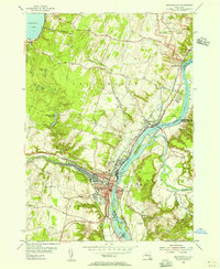
1954 Map of Mechanicville
USGS Topo · Published 1956About this map
The Hudson River corridor near the mid-1950s serves as a busy industrial and transportation artery where the Champlain Canal and Hoosic River converge. At the center of this network, the city of Mechanicville is defined by a dense grid of streets and significant rail infrastructure belonging to the Boston and Maine and Delaware and Hudson railroads. The map highlights the transition of American transport by showing the Old Champlain Canal (Abandoned) winding alongside newer developments.
Find a feature on this map
52 named features on this map. Tap any name to fly to it.
Don’t see what you’re looking for? This feature index may not catch every label — zoom into the map to look around manually.
Map Details
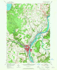
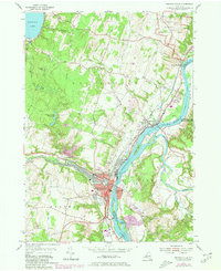
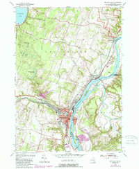
Editions of this 1954 Mechanicville Map
4 editions found
Other maps of this area

1893 · Cohoes
USGS Topo · 1:62,500

1893 · Schenectady
USGS Topo · 1:62,500

1895 · Cohoes
USGS Topo · 1:62,500

1895 · Schenectady
USGS Topo · 1:62,500

1898 · Schenectady
USGS Topo · 1:62,500

1898 · Cohoes
USGS Topo · 1:62,500

1900 · Schuylerville
USGS Topo · 1:62,500

1902 · Saratoga
USGS Topo · 1:62,500

1929 · Cohoes
USGS Topo · 1:62,500

1930 · Schenectady
USGS Topo · 1:62,500