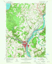
1954 Map of Mechanicville
USGS Topo · Published 1967About this map
The Hudson River and the Champlain Canal dominate the eastern landscape of this 1950s survey, illustrating the critical water-borne transportation corridor between Mechanicville and the Revolutionary War grounds at Bemis Heights. The urban core of Mechanicville shows a dense concentration of infrastructure at the confluence of the Anthony Kill, where the Boston and Maine and Delaware and Hudson railroads meet.
Find a feature on this map
44 named features on this map. Tap any name to fly to it.
Don’t see what you’re looking for? This feature index may not catch every label — zoom into the map to look around manually.
Map Details
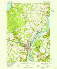
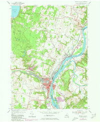
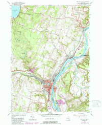
Editions of this 1954 Mechanicville Map
4 editions found
Other maps of this area

1893 · Cohoes
USGS Topo · 1:62,500

1893 · Schenectady
USGS Topo · 1:62,500

1895 · Cohoes
USGS Topo · 1:62,500

1895 · Schenectady
USGS Topo · 1:62,500

1898 · Schenectady
USGS Topo · 1:62,500

1898 · Cohoes
USGS Topo · 1:62,500

1900 · Schuylerville
USGS Topo · 1:62,500

1902 · Saratoga
USGS Topo · 1:62,500

1929 · Cohoes
USGS Topo · 1:62,500

1930 · Schenectady
USGS Topo · 1:62,500