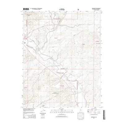
2013 Map of Medanales
USGS Topo · Published 2013About this map
Medanales and the small settlement of Llano Lobato occupy a landscape defined by the drainage systems of northern New Mexico. The Rio Chama cuts through the southwestern corner of the sheet, providing a vital water source for the surrounding high desert terrain. Much of the land is managed by federal agencies, with the Carson National Forest bordering the north and the Santa Fe National Forest extending across the southern and western portions.
Find a feature on this map
41 named features on this map. Tap any name to fly to it.
Don’t see what you’re looking for? This feature index may not catch every label — zoom into the map to look around manually.
Map Details
Editions of this 2013 Medanales Map
This is the sole edition of this map. No revisions or reprints were ever made.
Other maps of this area

1918 · Abiquiu
USGS Topo · 1:125,000

1953 · Chili
USGS Topo · 1:24,000

1953 · Abiquiu
USGS Topo · 1:24,000

1953 · Medanales
USGS Topo · 1:24,000

1953 · Vallecitos
USGS Topo · 1:24,000

1953 · San Juan Pueblo
USGS Topo · 1:24,000

1953 · Lyden
USGS Topo · 1:24,000

1953 · El Rito
USGS Topo · 1:24,000

1953 · Ojo Caliente
USGS Topo · 1:24,000

1953 · Canjilon SE
USGS Topo · 1:24,000