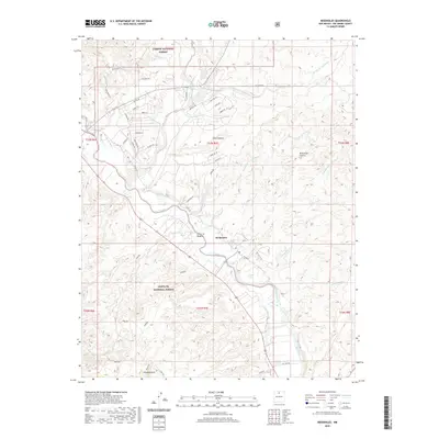
2020 Map of Medanales
USGS Topo · Published 2020About this map
Rio Chama flows through this Northern New Mexico landscape, providing a lush riparian corridor that contrasts with the surrounding high-desert plateaus and canyons. The settlement of Medanales is the primary hub of the region, situated along the river valley and connected to a network of local roads including Co Rd 142. The area is hemmed in by large tracts of protected land, with the Carson National Forest to the north and the Santa Fe National Forest to the south. Distinctive geographic markers like Window Rock and the high ground of Llano Lobato dominate the skyline. The map reveals a complex system of drainage arroyos and cañadas, such as Arroyo las Lagunitas and Cañada Ancha, which define the drainage patterns feeding into the Chama. Residential developments like El Rito Ests show the contemporary footprint of local habitation amidst more traditional landmarks like Sierra Negra Tank.
Find a feature on this map
53 named features on this map. Tap any name to fly to it.
Don’t see what you’re looking for? This feature index may not catch every label — zoom into the map to look around manually.
Map Details
Editions of this 2020 Medanales Map
This is the sole edition of this map. No revisions or reprints were ever made.
Other maps of this area

1918 · Abiquiu
USGS Topo · 1:125,000

1953 · Chili
USGS Topo · 1:24,000

1953 · Abiquiu
USGS Topo · 1:24,000

1953 · Medanales
USGS Topo · 1:24,000

1953 · Vallecitos
USGS Topo · 1:24,000

1953 · San Juan Pueblo
USGS Topo · 1:24,000

1953 · Lyden
USGS Topo · 1:24,000

1953 · El Rito
USGS Topo · 1:24,000

1953 · Ojo Caliente
USGS Topo · 1:24,000

1953 · Canjilon SE
USGS Topo · 1:24,000