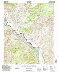
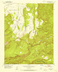
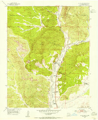
1995 Map of Medanales
USGS Topo · Published 1998About this map
The Rio Chama flows through the heart of the northern New Mexico landscape, carving a valley between the Carson National Forest to the north and the Santa Fe National Forest to the south. This 1995 revision reflects a rural community rooted in the Chama Juan Jose Lobato Grant, where the settlement of Medanales is concentrated. Local life is centered around the San Antonio Church and the nearby Cem, with much of the land's utility defined by an extensive system of irrigation, marked simply as Ditch, which supports the agricultural valley.
Find a feature on this map
51 named features on this map. Tap any name to fly to it.
Don’t see what you’re looking for? This feature index may not catch every label — zoom into the map to look around manually.
Map Details
Editions of this 1995 Medanales Map
This is the sole edition of this map. No revisions or reprints were ever made.
Other maps of this area

1918 · Abiquiu
USGS Topo · 1:125,000
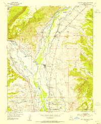
1953 · Chili
USGS Topo · 1:24,000
1953 · Abiquiu
USGS Topo · 1:24,000
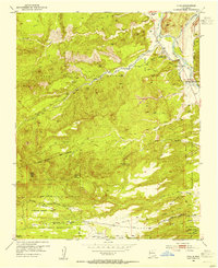
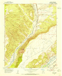
1953 · Medanales
USGS Topo · 1:24,000
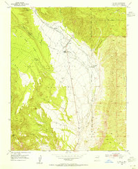
1953 · Vallecitos
USGS Topo · 1:24,000
1953 · San Juan Pueblo
USGS Topo · 1:24,000
1953 · Lyden
USGS Topo · 1:24,000
1953 · El Rito
USGS Topo · 1:24,000
1953 · Ojo Caliente
USGS Topo · 1:24,000
1953 · Canjilon SE
USGS Topo · 1:24,000