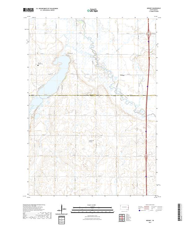
2021 Map of Medary
USGS Topo · Published 2021About this map
The Big Sioux River meanders through this portion of the Coteau des Prairies upland, defining the landscape where Brookings and Moody Counties meet. This modern survey illustrates the recreational and agricultural character of the region, anchored by the community of Medary and the residential clusters surrounding Lake Campbell. Along the western edge, the East Lake Campbell Cem provides a point of interest for genealogists tracing local families near the Lake Campbell Outlet. The terrain is marked by the distinctive glacial plateaus of the Coteau, with drainage provided by Battle Creek and Deer Cr. Water-based recreation is a prominent feature, evidenced by the Jay Heath Canoe & Kayak Trl which follows the river's course, while a dense grid of county roads like Co Rd 22 and Medary Ave S connects the scattered farmsteads and lakeshore developments.
Find a feature on this map
45 named features on this map. Tap any name to fly to it.
Don’t see what you’re looking for? This feature index may not catch every label — zoom into the map to look around manually.
Map Details
Editions of this 2021 Medary Map
This is the sole edition of this map. No revisions or reprints were ever made.
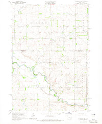
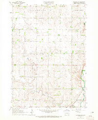
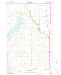
Historical Maps of Medary Through Time
12 maps found
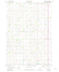
1964 Flandreau NW
Moody County, SD
1964 Flandreau SW
Moody County, SD
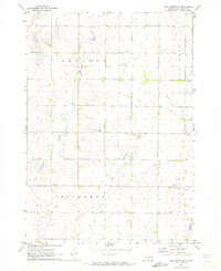
1964 Medary
Moody County, SD
1964 Rutland SE
Moody County, SD
1972 Dell Rapids NE
Moody County, SD
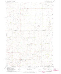
1972 Flandreau NE
Moody County, SD
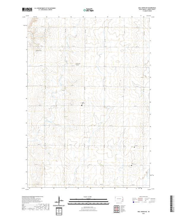
2021 Dell Rapids NE
Moody County, SD
2021 Flandreau NE
Moody County, SD
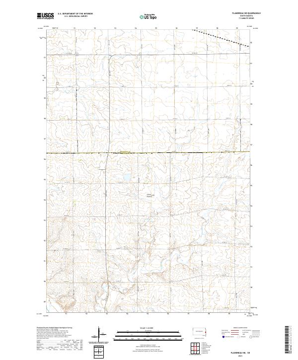
2021 Flandreau NW
Moody County, SD

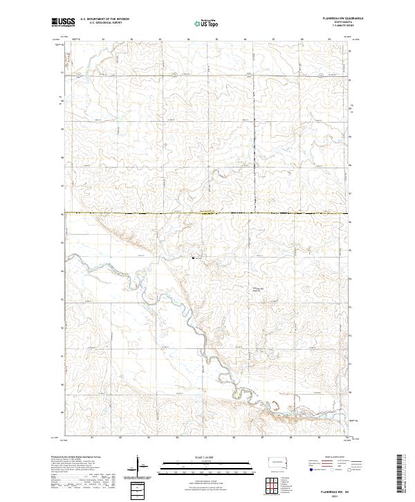
2021 Flandreau SW
Moody County, SD
2021 Medary
Moody County, SD
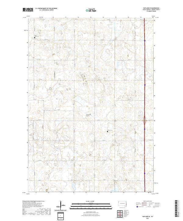
2021 Rutland SE
Moody County, SD
Featured Locations
- Trenton Township, SD
- Medary Township, SD
- Fremont Township, SD
- Riverview Township, SD
- Medary, Medary Township