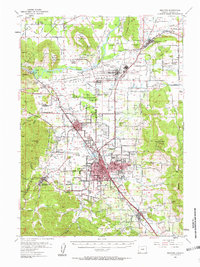
1954 Map of Medford
USGS Topo · Published 1963About this map
Medford and its surrounding Rogue Valley neighbors appear here during a period of significant mid-century expansion. The map detail highlights the urban growth of Central Point, Phoenix, and the historic seat of Jacksonville alongside the winding Bear Creek. The presence of the Veterans Hosp near White City and the National Guard Warehouses underscores the region's post-war infrastructure, while the CAA Radio Transmitter atop Upper Table Rock reflects the era's navigational advancements.
Find a feature on this map
70 named features on this map. Tap any name to fly to it.
Don’t see what you’re looking for? This feature index may not catch every label — zoom into the map to look around manually.
Map Details
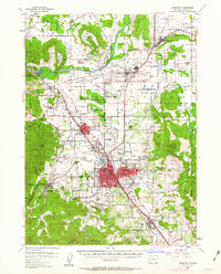
Editions of this 1954 Medford Map
3 editions found
Other maps of this area

1891 · Ashland
USGS Topo · 1:250,000

1893 · Ashland
USGS Topo · 1:250,000

1897 · Ashland
USGS Topo · 1:250,000

1904 · Riddle
USGS Topo · 1:125,000

1908 · Grants Pass
USGS Topo · 1:125,000

1938 · Medford
USGS Topo · 1:125,000

1943 · Trail
USGS Topo · 1:62,500

1954 · Medford
USGS Topo · 1:62,500

1954 · Butte Falls
USGS Topo · 1:62,500

1954 · Gold Hill
USGS Topo · 1:62,500