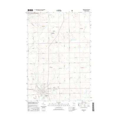
2015 Map of Medford
USGS Topo · Published 2015About this map
The city of Medford serves as the focal point of this Northwoods landscape, where the Black River and its various branches create a complex drainage system across central Wisconsin. In the northern reaches, the Chequamegon National Forest encompasses several distinctive glacial water bodies, including Bullhead Lake, Laher Lake, and McNamar Lake. These lakes, situated near Clarke Lake, highlight the area's geological character formed by retreating glaciers.
Find a feature on this map
64 named features on this map. Tap any name to fly to it.
Don’t see what you’re looking for? This feature index may not catch every label — zoom into the map to look around manually.
Map Details
Editions of this 2015 Medford Map
This is the sole edition of this map. No revisions or reprints were ever made.
Other maps of this area

1902 · Marathon
USGS Topo · 1:125,000

1944 · Ogema
USGS Topo · 1:48,000

1945 · Rib Lake
USGS Topo · 1:48,000

1947 · Rib Lake
USGS Topo · 1:48,000

1947 · Ogema
USGS Topo · 1:48,000

1949 · Ogema
USGS Topo · 1:48,000

1949 · Rib Lake
USGS Topo · 1:48,000

1951 · Athens
USGS Topo · 1:48,000

1951 · Medford
USGS Topo · 1:48,000

1953 · Rice Lake
USGS Topo · 1:250,000