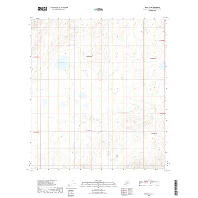
2019 Map of Medfra A-1 NE
USGS Topo · Published 2019About this map
Grayling Lake sits at the heart of this interior Alaskan landscape, a solitary water body within the vastness of the Yukon-Koyukuk region. This 2019 survey captures a wilderness largely defined by its drainage patterns, with Grayling Cr flowing through the western sections and the winding course of Dennis Cr dominating the southern and eastern quadrants. The terrain is meticulously mapped using 10-foot contour intervals, revealing a complex network of subtle ridges and basins that dictate the flow of these northern waterways. Though devoid of permanent settlements or structures, the map provides an essential record of the U.S. Geological Survey data for this remote area, serving as a primary reference for the hydrologic and topographic character of the unorganized borough.
Find a feature on this map
11 named features on this map. Tap any name to fly to it.
Don’t see what you’re looking for? This feature index may not catch every label — zoom into the map to look around manually.
Map Details
Editions of this 2019 Medfra A-1 NE Map
This is the sole edition of this map. No revisions or reprints were ever made.
Other maps of this area

1950 · Medfra
USGS Topo · 1:250,000

1952 · Mount McKinley
USGS Topo · 1:250,000

1958 · Medfra A-1
USGS Topo · 1:63,360

1958 · Mount McKinley B-6
USGS Topo · 1:63,360

1958 · Mount McKinley A-6
USGS Topo · 1:63,360

1958 · Mount McKinley
USGS Topo · 1:250,000

1958 · Medfra B-1
USGS Topo · 1:63,360

1959 · Medfra
USGS Topo · 1:250,000

1969 · Mount McKinley
USGS Topo · 1:250,000
2017 · Denali B-6 SW
USGS Topo · 1:25,000