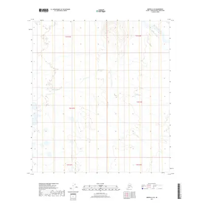
2019 Map of Medfra A-2 SE
USGS Topo · Published 2019About this map
Tonzona River winds through the northeast corner of this remote Alaskan landscape, defined by a complex network of wetlands and seasonal waterways. The drainage pattern is dominated by the N Fork Jones Cr, which meanders across the central and western reaches of the quadrangle. This 2019 survey captures the wilderness in its natural state, showing a terrain largely undisturbed by modern infrastructure or permanent settlements. The map provides a detailed topographic record of the Public Land Survey System boundaries, specifically within t27s r27e and t28s r28e, documenting the precise legal divisions of this interior region before any significant human development.
Find a feature on this map
8 named features on this map. Tap any name to fly to it.
Don’t see what you’re looking for? This feature index may not catch every label — zoom into the map to look around manually.
Map Details
Editions of this 2019 Medfra A-2 SE Map
This is the sole edition of this map. No revisions or reprints were ever made.
Other maps of this area

1949 · McGrath
USGS Topo · 1:250,000

1950 · Medfra
USGS Topo · 1:250,000

1950 · McGrath
USGS Topo · 1:250,000

1958 · McGrath D-2
USGS Topo · 1:63,360

1958 · Medfra A-2
USGS Topo · 1:63,360

1958 · Medfra A-1
USGS Topo · 1:63,360

1958 · McGrath D-1
USGS Topo · 1:63,360

1958 · McGrath
USGS Topo · 1:250,000

1959 · Medfra
USGS Topo · 1:250,000
2019 · McGrath D-1 NW
USGS Topo · 1:25,000