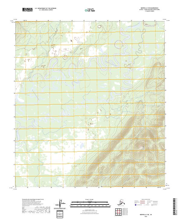
2024 Map of Medfra A-3 NE
USGS Topo · Published 2024About this map
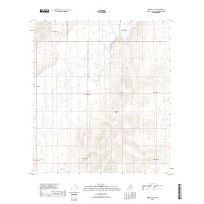
North Fork Kuskokwim River dominates this interior landscape, winding in tight, complex oxbows and meanders through the Yukon-Koyukuk region. The river's path is characterized by numerous cutoffs and active channel migration across a broad, relatively flat basin. In the southeastern corner of the quadrangle, the elevation rises sharply into the East Fork Hills, providing a topographic contrast to the saturated lowlands. This 2024 edition of the Medfra A-3 NE quadrangle illustrates a wild, unpopulated reach of the Alaska interior, where the hydrology of the Kuskokwim drainage dictates the land's character. Researchers of Alaskan geography will find the intricate shoreline of the river particularly notable, as it shows the natural evolution of an unimpeded northern waterway.
Find a feature on this map
6 named features on this map. Tap any name to fly to it.
Don’t see what you’re looking for? This feature index may not catch every label — zoom into the map to look around manually.
Map Details
Editions of this 2024 Medfra A-3 NE Map
This is the sole edition of this map. No revisions or reprints were ever made.
Other maps of this area

1950 · Medfra
USGS Topo · 1:250,000

1954 · Medfra A-3
USGS Topo · 1:63,360

1955 · Medfra B-3
USGS Topo · 1:63,360

1958 · Medfra A-2
USGS Topo · 1:63,360

1958 · Medfra B-2
USGS Topo · 1:63,360

1959 · Medfra
USGS Topo · 1:250,000
2019 · Medfra A-3 NE
USGS Topo · 1:25,000
2019 · Medfra A-2 NW
USGS Topo · 1:25,000
2019 · Medfra A-3 SW
USGS Topo · 1:25,000
2019 · Medfra B-2 SW
USGS Topo · 1:25,000