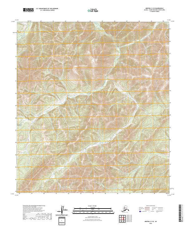
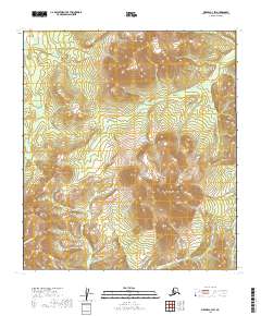
2024 Map of Medfra C-3 SE
USGS Topo · Published 2024About this map
The Kuskokwim Mountains dominate this interior Alaskan landscape, characterized by the prominent elevation of Whirlwind Ridge in the southwest. This 2024 survey depicts a high-altitude wilderness where water drainage patterns are the primary identifiers of location. Notable waterways including Shepherd Creek in the northwest and White Mountain Creek flowing through the center of the quadrangle illustrate the natural erosion of the mountainous terrain. To the south, Soda Creek marks the lower reaches of the local topography. This map serves as a contemporary record of the Public Land Survey System for the area, detailing the township and range boundaries including t22s r24e and t23s r25e, providing essential data for land management and remote navigation in a region devoid of developed roads or settlements.
Find a feature on this map
11 named features on this map. Tap any name to fly to it.
Don’t see what you’re looking for? This feature index may not catch every label — zoom into the map to look around manually.
Map Details
Editions of this 2024 Medfra C-3 SE Map
This is the sole edition of this map. No revisions or reprints were ever made.
Other maps of this area

1950 · Medfra
USGS Topo · 1:250,000

1954 · Medfra C-3
USGS Topo · 1:63,360

1955 · Medfra B-3
USGS Topo · 1:63,360

1958 · Medfra C-2
USGS Topo · 1:63,360

1958 · Medfra B-2
USGS Topo · 1:63,360

1959 · Medfra
USGS Topo · 1:250,000
2019 · Medfra C-2 NW
USGS Topo · 1:25,000
2019 · Medfra B-3 NE
USGS Topo · 1:25,000
2019 · Medfra C-3 NW
USGS Topo · 1:25,000
2019 · Medfra C-3 SW
USGS Topo · 1:25,000