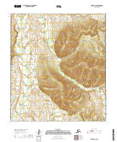
2019 Map of Medfra C-4 NE
USGS Topo · Published 2019About this map
Canyon Cr and Meadow Cr define the hydrological character of this portion of the Yukon-Koyukuk Census Area. The landscape is characterized by a high-altitude drainage system where water bodies like Bridge Cr and Fire Cr navigate through complex topographical gradients. This 2019 survey documents the area's natural state, emphasizing the relationship between seasonal creek beds and the surrounding elevation. As part of the Medfra region, the territory is segmented by several township and range boundaries, including t21s r22e and t20s r21e, which facilitate land management in a region otherwise devoid of permanent human settlements or infrastructure.
Find a feature on this map
9 named features on this map. Tap any name to fly to it.
Don’t see what you’re looking for? This feature index may not catch every label — zoom into the map to look around manually.
Map Details
Editions of this 2019 Medfra C-4 NE Map
This is the sole edition of this map. No revisions or reprints were ever made.
Other maps of this area

1950 · Medfra
USGS Topo · 1:250,000

1953 · Medfra C-4
USGS Topo · 1:63,360
1954 · Medfra D-3
USGS Topo · 1:63,360

1954 · Medfra C-3
USGS Topo · 1:63,360
1954 · Medfra D-4
USGS Topo · 1:63,360

1959 · Medfra
USGS Topo · 1:250,000
2019 · Medfra D-4 SE
USGS Topo · 1:25,000
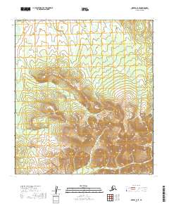
2019 · Medfra C-4 SE
USGS Topo · 1:25,000
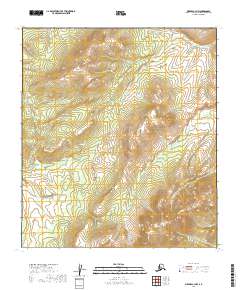
2019 · Medfra C-3 NW
USGS Topo · 1:25,000
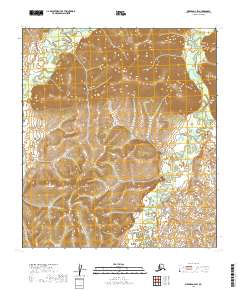
2019 · Medfra D-4 SW
USGS Topo · 1:25,000