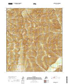
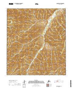
2019 Map of Medfra D-5 SW
USGS Topo · Published 2019About this map
The S Fork Sulukna River and Susulatna River carve through the interior wilderness of the Yukon-Koyukuk region, defining the complex drainage patterns of this Alaskan landscape. This 2019 survey captures the area in its modern state, showing a topography dominated by ridgelines and creek beds such as Oar Cr. The absence of roads or permanent settlements within the quadrangle highlights the isolation of this terrain, where the hydrography provides the only navigable corridors. Modern surveying techniques from the 2010s are utilized here to document the shifting courses of these interior waterways and the precise contours of the surrounding uplands.
Find a feature on this map
7 named features on this map. Tap any name to fly to it.
Don’t see what you’re looking for? This feature index may not catch every label — zoom into the map to look around manually.
Map Details
Editions of this 2019 Medfra D-5 SW Map
This is the sole edition of this map. No revisions or reprints were ever made.
Other maps of this area

1950 · Medfra
USGS Topo · 1:250,000

1954 · Medfra C-6
USGS Topo · 1:63,360

1954 · Medfra C-5
USGS Topo · 1:63,360

1954 · Medfra D-5
USGS Topo · 1:63,360

1954 · Medfra D-6
USGS Topo · 1:63,360

1959 · Medfra
USGS Topo · 1:250,000
2019 · Medfra D-6 NE
USGS Topo · 1:25,000
2019 · Medfra C-5 NW
USGS Topo · 1:25,000
2019 · Medfra D-5 NE
USGS Topo · 1:25,000
2019 · Medfra D-5 NW
USGS Topo · 1:25,000