
1961 Map of Medicine Bow Peak
USGS Topo · Published 1963About this map
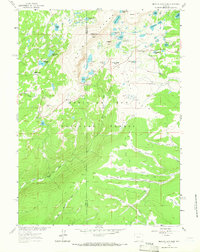
Snowy Range dominates this 1961 survey, where the dramatic peaks of Medicine Bow Peak and Sugarloaf Mtn overlook a dense concentration of high-elevation glacial lakes. The topography reveals a landscape transitioning from the high alpine ridges near Snowy Range Pass down into the expansive timbered reaches of Medicine Bow National Forest. Recreation and accessibility are well-established by the early 1960s, evidenced by the Lewis Lake Campground and Silver Lake Campground connected by a network of foot trails and jeep tracks. To the south and east, the terrain levels into several distinct meadow systems known as parks, including Nelson Park, Willow Park, and Fourlog Park. These open areas are drained by the headwaters of the Middle Fork Little Laramie River, illustrating the vital watershed role this mountain range plays for the surrounding Wyoming basins. The boundary between Carbon and Albany counties bisects the peaks, marking a significant geopolitical line across the summit ridge.
Find a feature on this map
49 named features on this map. Tap any name to fly to it.
Don’t see what you’re looking for? This feature index may not catch every label — zoom into the map to look around manually.
Map Details
Editions of this 1961 Medicine Bow Peak Map
4 editions found
Other maps of this area

1906 · Medicine Bow
USGS Topo · 1:125,000

1908 · Medicine Bow
USGS Topo · 1:125,000

1954 · Rawlins
USGS Topo · 1:250,000

1958 · Rawlins
USGS Topo · 1:250,000

1961 · Overlook Hill
USGS Topo · 1:24,000

1961 · Sand Lake
USGS Topo · 1:24,000
1961 · Phantom Lake
USGS Topo · 1:24,000
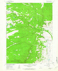
1961 · Centennial
USGS Topo · 1:24,000
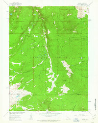
1961 · Morgan
USGS Topo · 1:24,000
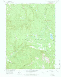
1961 · Turpin Reservoir
USGS Topo · 1:24,000