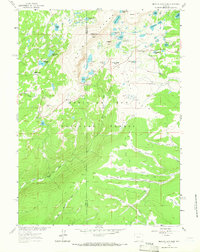
1961 Map of Medicine Bow Peak
USGS Topo · Published 1965About this map
Medicine Bow Peak serves as the focal point of this high-altitude landscape, where the Snowy Range drops into the expansive Libby Flats. This 1961 field-checked survey illustrates the transition from the glaciated peaks and numerous alpine tarns—including Lake Marie, Mirror Lake, and Lookout Lake—to the lower forested reaches of the Medicine Bow National Forest. The presence of Snowy Range Pass and established sites like Lewis Lake Campground and Silver Lake Campground highlights the area's development as a post-war recreational destination.
Find a feature on this map
49 named features on this map. Tap any name to fly to it.
Don’t see what you’re looking for? This feature index may not catch every label — zoom into the map to look around manually.
Map Details
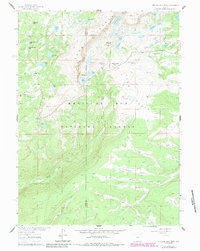
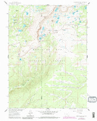
Editions of this 1961 Medicine Bow Peak Map
4 editions found
Other maps of this area

1906 · Medicine Bow
USGS Topo · 1:125,000

1908 · Medicine Bow
USGS Topo · 1:125,000

1954 · Rawlins
USGS Topo · 1:250,000

1958 · Rawlins
USGS Topo · 1:250,000

1961 · Overlook Hill
USGS Topo · 1:24,000

1961 · Sand Lake
USGS Topo · 1:24,000

1961 · Medicine Bow Peak
USGS Topo · 1:24,000
1961 · Phantom Lake
USGS Topo · 1:24,000
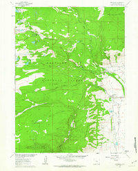
1961 · Centennial
USGS Topo · 1:24,000
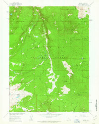
1961 · Morgan
USGS Topo · 1:24,000