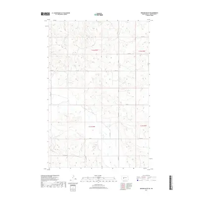
2017 Map of Medicine Butte SW
USGS Topo · Published 2017About this map
Elm Creek and its tributaries carve a complex drainage pattern through the high plains of Mercer County, showing a landscape defined by seasonal watercourses and prairie relief. The map reveals the rigid organization of the Public Land Survey System, with township lines for t142n r89w and t141n r89w dictating the placement of the rural road network. These section-line roads, including Co Rd 13 and Co Rd 14, provide the primary infrastructure for this ranching and agricultural region. North-flowing streams like Mud Cr and Gold Cr underscore the subtle northern tilt of the terrain toward larger basins. The lack of concentrated town sites emphasizes the open, rural nature of the county during this decade, where isolated homesteads and livestock operations rely on the intermittent flow of Elm Creek.
Find a feature on this map
21 named features on this map. Tap any name to fly to it.
Don’t see what you’re looking for? This feature index may not catch every label — zoom into the map to look around manually.
Map Details
Editions of this 2017 Medicine Butte SW Map
This is the sole edition of this map. No revisions or reprints were ever made.
Other maps of this area

1953 · Dickinson
USGS Topo · 1:250,000

1953 · Watford City
USGS Topo · 1:250,000

1954 · Bismarck
USGS Topo · 1:250,000

1954 · McClusky
USGS Topo · 1:250,000

1957 · Dickinson
USGS Topo · 1:250,000

1957 · Watford City
USGS Topo · 1:250,000

1958 · Bismarck
USGS Topo · 1:250,000

1958 · McClusky
USGS Topo · 1:250,000

1967 · Watford City
USGS Topo · 1:250,000

1968 · Medicine Butte NE
USGS Topo · 1:24,000