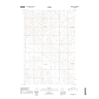
2020 Map of Medicine Butte SW
USGS Topo · Published 2020About this map
Mud Cr and Gold Cr drain the northern reaches of this Mercer County landscape, illustrating the natural drainage patterns of the Missouri Plateau. This topographic survey captures the rural character of the region, where the land is organized by the Public Land Survey System into townships like t142n r89w and t141n r89w. The transport network consists primarily of a grid-based section-line road system, including Co Rd 14 and 67th Ave SW, which facilitate movement between agricultural holdings. In the southern portion of the quadrangle, Elm Creek meanders through the terrain, providing a critical water source for this prairie environment. The lack of concentrated settlements or industrial sites emphasizes the area's ongoing commitment to large-scale ranching or farming, with the topography defined by subtle elevation changes and coulees.
Find a feature on this map
21 named features on this map. Tap any name to fly to it.
Don’t see what you’re looking for? This feature index may not catch every label — zoom into the map to look around manually.
Map Details
Editions of this 2020 Medicine Butte SW Map
This is the sole edition of this map. No revisions or reprints were ever made.
Other maps of this area

1953 · Dickinson
USGS Topo · 1:250,000

1953 · Watford City
USGS Topo · 1:250,000

1954 · Bismarck
USGS Topo · 1:250,000

1954 · McClusky
USGS Topo · 1:250,000

1957 · Dickinson
USGS Topo · 1:250,000

1957 · Watford City
USGS Topo · 1:250,000

1958 · Bismarck
USGS Topo · 1:250,000

1958 · McClusky
USGS Topo · 1:250,000

1967 · Watford City
USGS Topo · 1:250,000

1968 · Medicine Butte NE
USGS Topo · 1:24,000