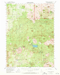
1952 Map of Medicine Lake
USGS Topo · Published 1971About this map
The high volcanic plateau of Siskiyou County is defined here by the meeting of three major timber and grazing lands: Modoc National Forest, Klamath National Forest, and Shasta National Forest. At its center lies Medicine Lake, surrounded by unique geological formations like the Medicine Lake Glass Flow and the towering Little Glass Mountain. The map illustrates a landscape shaped by both ancient eruptions and early 20th-century utility, with features like Mammoth Crater and Schonchin Butte punctuating the terrain. Human presence is marked by isolated water sources such as Lairds Well and Doak Well, alongside the remote Lava Camp. Early industry is evidenced by the Pumice Mine near Pumice Stone Mtn, connected by a network of specialized routes including Lumber Road and Fire Camp Road.
Find a feature on this map
73 named features on this map. Tap any name to fly to it.
Don’t see what you’re looking for? This feature index may not catch every label — zoom into the map to look around manually.
Map Details
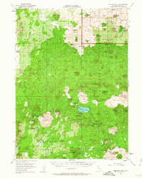
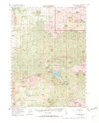
Editions of this 1952 Medicine Lake Map
4 editions found
Other maps of this area

1886 · Modoc Lava Bed
USGS Topo · 1:250,000

1892 · Modoc Lava-Bed
USGS Topo · 1:250,000

1932 · Bartle
USGS Topo · 1:96,000

1939 · Bartle
USGS Topo · 1:125,000

1950 · Mt. Dome
USGS Topo · 1:62,500

1950 · Bray
USGS Topo · 1:62,500

1950 · Dorris
USGS Topo · 1:62,500

1951 · Tulelake
USGS Topo · 1:62,500

1952 · Timber Mountain
USGS Topo · 1:62,500

1952 · Medicine Lake
USGS Topo · 1:62,500