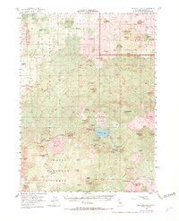
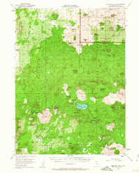
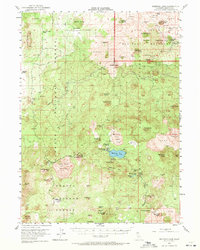
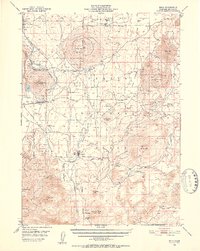
1952 Map of Medicine Lake
USGS Topo · Published 1971About this map
Lava Beds National Monument dominates the northern reaches of this Siskiyou County landscape, where volcanic activity has shaped every landmark. The sheet highlights the immense Medicine Lake Glass Flow and the towering heights of Glass Mountain and Little Glass Mountain. These obsidian and pumice deposits are central to the area's geography, even supporting industrial activity at the Pumice Mine. Central to the map is Medicine Lake itself, surrounded by various water sources like Crystal Sprs and Schonchin Spring.
Find a feature on this map
62 named features on this map. Tap any name to fly to it.
Don’t see what you’re looking for? This feature index may not catch every label — zoom into the map to look around manually.
Map Details
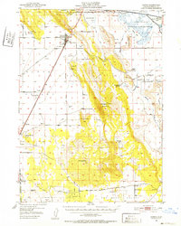
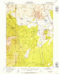
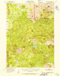
Editions of this 1952 Medicine Lake Map
4 editions found
Other maps of this area

1886 · Modoc Lava Bed
USGS Topo · 1:250,000

1892 · Modoc Lava-Bed
USGS Topo · 1:250,000

1932 · Bartle
USGS Topo · 1:96,000

1939 · Bartle
USGS Topo · 1:125,000
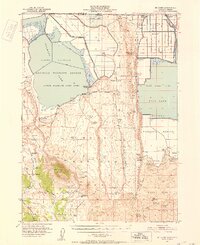
1950 · Mt. Dome
USGS Topo · 1:62,500
1950 · Bray
USGS Topo · 1:62,500
1950 · Dorris
USGS Topo · 1:62,500

1951 · Tulelake
USGS Topo · 1:62,500
1952 · Timber Mountain
USGS Topo · 1:62,500
1952 · Medicine Lake
USGS Topo · 1:62,500