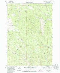
1956 Map of Medicine Mountain
USGS Topo · Published 1986About this map
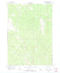
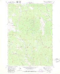
Medicine Mountain and Odakota Mountain anchor this mid-century survey of the high country in the Black Hills National Forest. The landscape is defined by a dense network of watercourses and draws, including Newton Fork, Slate Creek, and Spring Creek, which carve through the timbered terrain. Small pockets of human settlement and enterprise appear at Tigerville and Gillette Prairie, while local education is represented by the isolated South Slate Sch.
Find a feature on this map
25 named features on this map. Tap any name to fly to it.
Don’t see what you’re looking for? This feature index may not catch every label — zoom into the map to look around manually.
Map Details
Editions of this 1956 Medicine Mountain Map
6 editions found
Other maps of this area

1894 · Deadwood
USGS Topo · 1:125,000

1896 · Harney Peak
USGS Topo · 1:125,000

1901 · Harney Peak
USGS Topo · 1:125,000

1901 · Deadwood
USGS Topo · 1:125,000

1916 · Deadwood
USGS Topo · 1:125,000

1953 · Rapid City
USGS Topo · 1:250,000

1954 · Silver City
USGS Topo · 1:24,000

1954 · Custer
USGS Topo · 1:24,000

1954 · Hill City
USGS Topo · 1:24,000

1954 · Berne
USGS Topo · 1:24,000