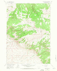
1960 Map of Medicine Wheel
USGS Topo · Published 1978About this map
The Medicine Wheel (Ancient Stone Structure) sits atop a high ridge of Medicine Mountain, serving as the focal point of this high-altitude landscape within the Bighorn National Forest. Surveyed in 1960, the map details a region defined by dramatic elevation changes and significant water sources, including the headwaters of Five Springs Creek and the meandering Crystal Creek. The presence of the ancient stone structure and named landmarks like Petes Hole and Tilletts Hole suggests a territory long utilized for its vantage points and sheltered basins.
Find a feature on this map
23 named features on this map. Tap any name to fly to it.
Don’t see what you’re looking for? This feature index may not catch every label — zoom into the map to look around manually.
Map Details
Editions of this 1960 Medicine Wheel Map
3 editions found
Other maps of this area

1898 · Bald Mountain
USGS Topo · 1:125,000

1901 · Bald Mountain
USGS Topo · 1:125,000

1955 · Cody
USGS Topo · 1:250,000

1955 · Sheridan
USGS Topo · 1:250,000

1958 · Cody
USGS Topo · 1:250,000

1958 · Sheridan
USGS Topo · 1:250,000

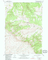
1960 · Medicine Wheel
USGS Topo · 1:24,000

1960 · Boyd Ridge
USGS Topo · 1:24,000

1960 · Mexican Hill
USGS Topo · 1:24,000

1960 · Bear Creek Ranch
USGS Topo · 1:24,000