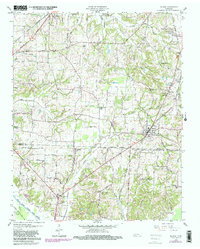
1959 Map of Medina
USGS Topo · Published 1981About this map
Medina serves as the primary hub of this West Tennessee landscape, situated along the Louisville and Nashville RR just north of the Gibson Co Madison Co line. The rail-centric development of the mid-20th century is evident here, with the Illinois Central Gulf also cutting through the terrain. To the east, the US Mil Res Milan Arsenal occupies a significant portion of the map, representing the area's strategic industrial and military footprint.
Find a feature on this map
42 named features on this map. Tap any name to fly to it.
Don’t see what you’re looking for? This feature index may not catch every label — zoom into the map to look around manually.
Map Details
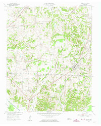
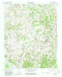
Editions of this 1959 Medina Map
4 editions found
Other maps of this area

1950 · Jackson North
USGS Topo · 1:24,000

1951 · Jackson North
USGS Topo · 1:24,000

1951 · Trenton
USGS Topo · 1:24,000

1952 · Milan
USGS Topo · 1:24,000

1953 · Claybrook
USGS Topo · 1:24,000

1956 · Blytheville
USGS Topo · 1:250,000

1959 · Medina
USGS Topo · 1:24,000

1959 · Blytheville
USGS Topo · 1:250,000

1959 · Adair
USGS Topo · 1:24,000

1959 · Humboldt
USGS Topo · 1:24,000