Loading...
Loading map...1961 Map of Medon
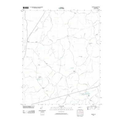
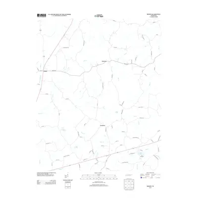
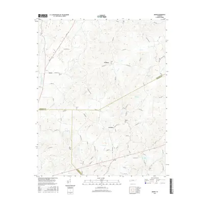
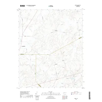
USGS Topo · Published 1990About this map
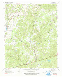
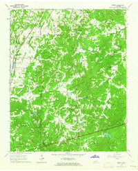
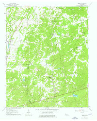
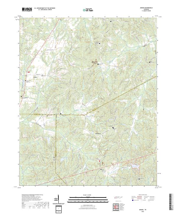
Medon serves as a primary rail point in this landscape where the Illinois Central and Gulf Mobile and Ohio railroads parallel the creek bottoms. The topography is defined by the convergence of several waterways, including Clover Creek and Sandy Creek, creating a network of ridges where many of the area's rural institutions are located. Further south, the map details the northern reaches of Chickasaw State Park, characterized by recreational water bodies like Lake Placid and Scott Lake.
Find a feature on this map
50 named features on this map. Tap any name to fly to it.
Don’t see what you’re looking for? This feature index may not catch every label — zoom into the map to look around manually.
Map Details
Date Portrayed1961
Date Published1990
PublisherU.S. Geological Survey
Map TypeTopographic
Scale1:24,000
Physical Dimensions22.1 x 27.4 inches
Editions of this 1961 Medon Map
3 editions found
Historical Maps of Medon Through Time
6 maps found
Featured Locations
Source Details
SourceU.S. Geological Survey
CopyrightPublic Domain