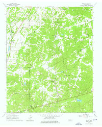
1961 Map of Medon
USGS Topo · Published 1976About this map
Medon and the surrounding tri-county borderlands of Madison, Chester, and Hardeman counties are defined by a complex network of creeks and small farming communities in this early 1960s survey. The Illinois Central Gulf Railroad corridor serves as a primary north-south axis, passing through the town of Medon and past local landmarks like New Ch and the McDaniel Cem. The landscape transitions from agricultural holdings in the north to the wooded terrain of Chickasaw State Park in the south, which contains Lake Placid and Cypress Creek.
Find a feature on this map
53 named features on this map. Tap any name to fly to it.
Don’t see what you’re looking for? This feature index may not catch every label — zoom into the map to look around manually.
Map Details
Editions of this 1961 Medon Map
3 editions found
Other maps of this area

1950 · Jackson South
USGS Topo · 1:24,000

1953 · Beech Bluff
USGS Topo · 1:24,000

1956 · Blytheville
USGS Topo · 1:250,000

1959 · Blytheville
USGS Topo · 1:250,000

1959 · Westover
USGS Topo · 1:24,000

1961 · Medon
USGS Topo · 1:24,000
1961 · Silerton
USGS Topo · 1:24,000
1961 · Bolivar East
USGS Topo · 1:24,000
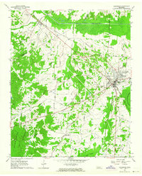
1961 · Henderson
USGS Topo · 1:24,000
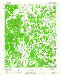
1961 · Masseyville
USGS Topo · 1:24,000