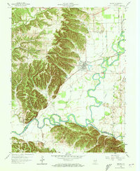
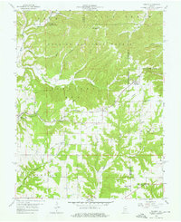
1959 Map of Medora
USGS Topo · Published 1960About this map
The town of Medora sits at the intersection of industry and history on the Baltimore and Ohio railroad line, serving as a focal point for the surrounding southern Indiana landscape. The terrain is marked by the complex intersection of the East Fork White River and the Muscatatuck River, which together define the borders of several protected lands, including Carr State Forest and Jefferson State Forest. A notable piece of historical geography, the Old Indian Boundary and Treaty Line, cuts diagonally across the township, providing a permanent marker of early territorial divisions.
Find a feature on this map
40 named features on this map. Tap any name to fly to it.
Don’t see what you’re looking for? This feature index may not catch every label — zoom into the map to look around manually.
Map Details
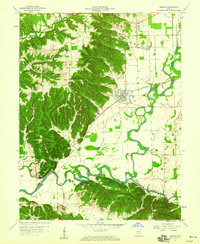
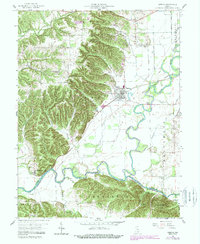
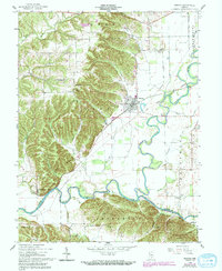
Editions of this 1959 Medora Map
4 editions found
Other maps of this area

1934 · Bedford
USGS Topo · 1:48,000

1937 · Bedford
USGS Topo · 1:62,500

1951 · Smedley
USGS Topo · 1:24,000

1953 · Kossuth
USGS Topo · 1:24,000

1956 · Vincennes
USGS Topo · 1:250,000

1957 · Vincennes
USGS Topo · 1:250,000

1957 · Campbellsburg
USGS Topo · 1:24,000

1958 · Vincennes
USGS Topo · 1:250,000
1958 · Norman
USGS Topo · 1:24,000

1958 · Brownstown
USGS Topo · 1:24,000