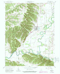
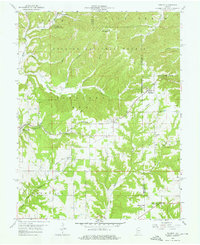
1959 Map of Medora
USGS Topo · Published 1988About this map
The East Fork White River and Muscatatuck River converge in this corner of southern Indiana, creating a complex landscape of fertile bottomlands and high wooded ridges. The settlement of Medora serves as the local hub, connected to the wider region by the Baltimore and Ohio RR. The map reveals a balance between industry and heritage, noting a Covered Bridge over the river and industrial Kilns near the town center. The rugged terrain to the west and south, including Fleener Ridge and numerous hollows like Shelton Hollow, is largely preserved within the Jackson-Washington State Forest. Genealogists will find a high density of family burial grounds such as Zollman Cem, Harrell Cem, and Thompson Cem scattered throughout the rural townships of Carr and Jefferson. Historical boundaries are also preserved, most notably the Indian Treaty Boundary cutting diagonally across the river plains.
Find a feature on this map
42 named features on this map. Tap any name to fly to it.
Don’t see what you’re looking for? This feature index may not catch every label — zoom into the map to look around manually.
Map Details
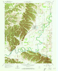
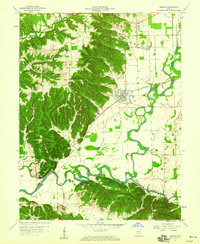
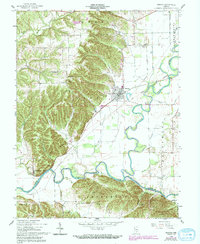
Editions of this 1959 Medora Map
4 editions found
Other maps of this area

1934 · Bedford
USGS Topo · 1:48,000

1937 · Bedford
USGS Topo · 1:62,500

1951 · Smedley
USGS Topo · 1:24,000

1953 · Kossuth
USGS Topo · 1:24,000

1956 · Vincennes
USGS Topo · 1:250,000

1957 · Vincennes
USGS Topo · 1:250,000

1957 · Campbellsburg
USGS Topo · 1:24,000

1958 · Vincennes
USGS Topo · 1:250,000
1958 · Norman
USGS Topo · 1:24,000

1958 · Brownstown
USGS Topo · 1:24,000