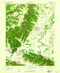
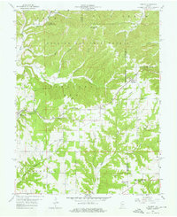
1959 Map of Medora
USGS Topo · Published 1973About this map
The East Fork White River and Muscatatuck River define the winding hydrology of this southern Indiana landscape, where the flat alluvial plains meet the heavily dissected hills of the Jackson-Washington State Forest. In the late 1950s, the town of Medora serves as a local hub, situated near the intersection of the Baltimore and Ohio Railroad and the historic Indian Treaty Boundary. The map records a complex network of agricultural drainage, featuring the Stuckwisch Ditch and Smallwood Ditch, which reclaimed the river bottomlands for farming.
Find a feature on this map
45 named features on this map. Tap any name to fly to it.
Don’t see what you’re looking for? This feature index may not catch every label — zoom into the map to look around manually.
Map Details
Editions of this 1959 Medora Map
4 editions found
Other maps of this area

1934 · Bedford
USGS Topo · 1:48,000

1937 · Bedford
USGS Topo · 1:62,500

1951 · Smedley
USGS Topo · 1:24,000

1953 · Kossuth
USGS Topo · 1:24,000

1956 · Vincennes
USGS Topo · 1:250,000

1957 · Vincennes
USGS Topo · 1:250,000

1957 · Campbellsburg
USGS Topo · 1:24,000

1958 · Vincennes
USGS Topo · 1:250,000
1958 · Norman
USGS Topo · 1:24,000

1958 · Brownstown
USGS Topo · 1:24,000