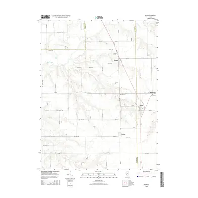
2015 Map of Medora
USGS Topo · Published 2015About this map
Medora sits at the junction of agricultural life and county lines, serving as a focal point where Jersey and Macoupin counties meet. The landscape is defined by the winding course of Macoupin Creek and its tributary Phils Cr, which carve through the fertile terrain north of Fidelity. This area maintains a strong connection to its pioneer roots, evidenced by numerous small family and community burial grounds dotting the townships, such as Longwill Cem and Pruitt Cem. The road network, including names like Mt Washington Rd and Schoolhouse Ln, suggests a history of local rural school districts and hilltop settlements. Further north, the village of Kemper remains a quiet outpost near Foster Lake, illustrating the enduring rural character of this Illinois borderland where Greene, Jersey, and Macoupin counties converge.
Find a feature on this map
63 named features on this map. Tap any name to fly to it.
Don’t see what you’re looking for? This feature index may not catch every label — zoom into the map to look around manually.
Map Details
Editions of this 2015 Medora Map
This is the sole edition of this map. No revisions or reprints were ever made.
Other maps of this area

1924 · Roodhouse
USGS Topo · 1:62,500

1925 · Brighton
USGS Topo · 1:62,500

1926 · Roodhouse
USGS Topo · 1:62,500

1928 · Brighton
USGS Topo · 1:62,500

1930 · Jerseyville
USGS Topo · 1:62,500

1932 · Greenfield
USGS Topo · 1:62,500

1933 · Jerseyville
USGS Topo · 1:62,500

1948 · Quincy
USGS Topo · 1:250,000

1956 · Quincy
USGS Topo · 1:250,000
1982 · Summerville
USGS Topo · 1:24,000