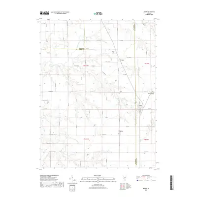
2018 Map of Medora
USGS Topo · Published 2018About this map
Medora sits at the nexus of several county lines, where the prairie of Macoupin County meets Jersey and Greene counties. This landscape is defined by the winding course of Macoupin Creek and its tributary, Phills Cr, which carve through the otherwise level agricultural land. The settlement pattern is anchored by the village of Medora, with its distinct grid featuring N Main St and N Railroad St, hinting at its historical reliance on transportation corridors. Smaller communities like Kemper, Summerville, and Fidelity serve as rural nodes within this farming region.
Find a feature on this map
73 named features on this map. Tap any name to fly to it.
Don’t see what you’re looking for? This feature index may not catch every label — zoom into the map to look around manually.
Map Details
Editions of this 2018 Medora Map
This is the sole edition of this map. No revisions or reprints were ever made.
Other maps of this area

1924 · Roodhouse
USGS Topo · 1:62,500

1925 · Brighton
USGS Topo · 1:62,500

1926 · Roodhouse
USGS Topo · 1:62,500

1928 · Brighton
USGS Topo · 1:62,500

1930 · Jerseyville
USGS Topo · 1:62,500

1932 · Greenfield
USGS Topo · 1:62,500

1933 · Jerseyville
USGS Topo · 1:62,500

1948 · Quincy
USGS Topo · 1:250,000

1956 · Quincy
USGS Topo · 1:250,000
1982 · Summerville
USGS Topo · 1:24,000