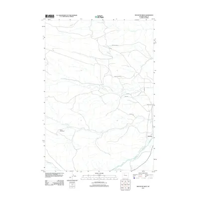
2012 Map of Meeteetse West
USGS Topo · Published 2012About this map
Meeteetse sits at the eastern edge of this western Wyoming landscape, where the Greybull River flows through a wide valley. The topography is defined by a network of drainages including Meeteetse Cr, Cottonwood Cr, and Spring Cr that carve through the high plains. A significant geographic depression, the Spring Creek Basin, dominates the southwestern quadrant, illustrating the erosional patterns of the region. The map reveals a sparse but established road network that follows the natural contours of the land, with routes like Meeteetse Creek Rd and Saddle Hill Rd providing access to the more isolated stretches of the basin. This survey provides a clear look at the hydraulic systems of Iron Cr and Rawhide Cr as they contribute to the larger Greybull drainage basin.
Find a feature on this map
15 named features on this map. Tap any name to fly to it.
Don’t see what you’re looking for? This feature index may not catch every label — zoom into the map to look around manually.
Map Details
Editions of this 2012 Meeteetse West Map
This is the sole edition of this map. No revisions or reprints were ever made.
Other maps of this area

1911 · Meeteetse
USGS Topo · 1:62,500

1911 · Oregon Basin
USGS Topo · 1:62,500

1913 · Oregon Basin
USGS Topo · 1:62,500

1913 · Meeteetse
USGS Topo · 1:62,500

1955 · Cody
USGS Topo · 1:250,000

1957 · Devils Tooth
USGS Topo · 1:62,500

1957 · Sunshine Reservoir
USGS Topo · 1:62,500

1958 · Cody
USGS Topo · 1:250,000

1962 · Cody
USGS Topo · 1:250,000

1980 · Carter Mountain
USGS Topo · 1:100,000