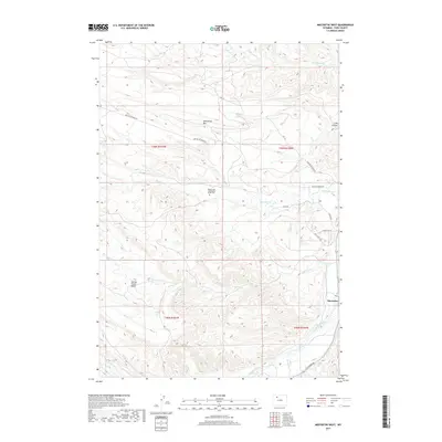
2017 Map of Meeteetse West
USGS Topo · Published 2017About this map
Meeteetse stands at the eastern edge of this Park County landscape, where the Greybull River meets the drainages of the Absaroka foothills. The high ground is dominated by the Meeteetse Rim, a prominent escarpment that overlooks a network of seasonal watercourses including Meeteetse Cr and Cottonwood Cr. Local history is anchored by the Wilson Cem - Meeteetse Creek Cem, situated in the heart of the quadrangle near the intersection of various ranch roads. The terrain transitions from the broad Spring Creek Basin in the southwest to the deeper incisions of Long Hollow in the northeast. This modern survey illustrates the distribution of historic ranching routes like Meeteetse Creek Rd and Pitchfork Rd, reflecting the persistent land-use patterns of the Wyoming basin.
Find a feature on this map
23 named features on this map. Tap any name to fly to it.
Don’t see what you’re looking for? This feature index may not catch every label — zoom into the map to look around manually.
Map Details
Editions of this 2017 Meeteetse West Map
This is the sole edition of this map. No revisions or reprints were ever made.
Other maps of this area

1911 · Meeteetse
USGS Topo · 1:62,500

1911 · Oregon Basin
USGS Topo · 1:62,500

1913 · Oregon Basin
USGS Topo · 1:62,500

1913 · Meeteetse
USGS Topo · 1:62,500

1955 · Cody
USGS Topo · 1:250,000

1957 · Devils Tooth
USGS Topo · 1:62,500

1957 · Sunshine Reservoir
USGS Topo · 1:62,500

1958 · Cody
USGS Topo · 1:250,000

1962 · Cody
USGS Topo · 1:250,000

1980 · Carter Mountain
USGS Topo · 1:100,000