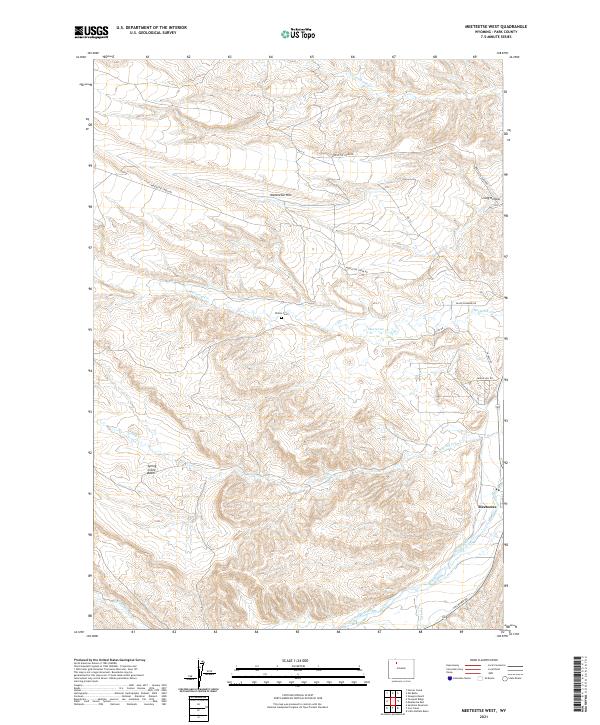
2021 Map of Meeteetse West
USGS Topo · Published 2021About this map
The Greybull River valley defines the southeastern edge of this western Wyoming landscape, where the settlement of Meeteetse sits near the junction of several drainage systems. This 2021 survey reveals a complex topography of high ridges and basins, most notably the prominent Meeteetse Rim that overlooks the northern reaches of the quadrangle. The area's ranching and agricultural foundations are reflected in a network of rural roads such as Pitchfork Rd and Meeteetse Creek Rd, which follow the contours of the land between high points like Long Hollow and the vast Spring Creek Basin.
Find a feature on this map
22 named features on this map. Tap any name to fly to it.
Don’t see what you’re looking for? This feature index may not catch every label — zoom into the map to look around manually.
Map Details
Editions of this 2021 Meeteetse West Map
This is the sole edition of this map. No revisions or reprints were ever made.
Other maps of this area

1911 · Meeteetse
USGS Topo · 1:62,500

1911 · Oregon Basin
USGS Topo · 1:62,500

1913 · Oregon Basin
USGS Topo · 1:62,500

1913 · Meeteetse
USGS Topo · 1:62,500

1955 · Cody
USGS Topo · 1:250,000

1957 · Devils Tooth
USGS Topo · 1:62,500

1957 · Sunshine Reservoir
USGS Topo · 1:62,500

1958 · Cody
USGS Topo · 1:250,000

1962 · Cody
USGS Topo · 1:250,000

1980 · Carter Mountain
USGS Topo · 1:100,000