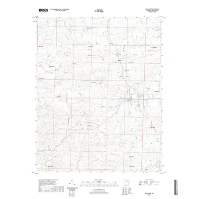
2020 Map of Melbourne
USGS Topo · Published 2020About this map
Melbourne serves as the focal point of this Izard County landscape, centered on the Izard County Courthouse and the campus of Ozarka College. The area is characterized by a high concentration of cemeteries and small upland settlements that speak to the region's deep genealogical roots. From Newburg in the north to Lunenburg and Lone Star in the south, the map reveals a network of rural communities linked by namesake roads such as Knob Creek Rd and Larkin Rd.
Find a feature on this map
98 named features on this map. Tap any name to fly to it.
Don’t see what you’re looking for? This feature index may not catch every label — zoom into the map to look around manually.
Map Details
Editions of this 2020 Melbourne Map
This is the sole edition of this map. No revisions or reprints were ever made.
Other maps of this area

1890 · Batesville
USGS Topo · 1:125,000

1890 · Mountain Home
USGS Topo · 1:125,000

1891 · Mountain Home
USGS Topo · 1:125,000

1891 · Batesville
USGS Topo · 1:125,000
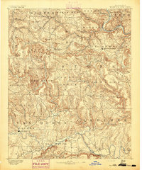
1892 · Mountain View
USGS Topo · 1:125,000
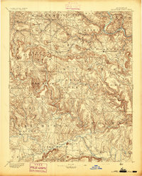
1894 · Mountain View
USGS Topo · 1:125,000

1894 · Mountain Home
USGS Topo · 1:125,000
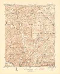
1942 · Mt Pleasant
USGS Topo · 1:31,680

1945 · Harrison
USGS Topo · 1:250,000

1949 · Harrison
USGS Topo · 1:250,000