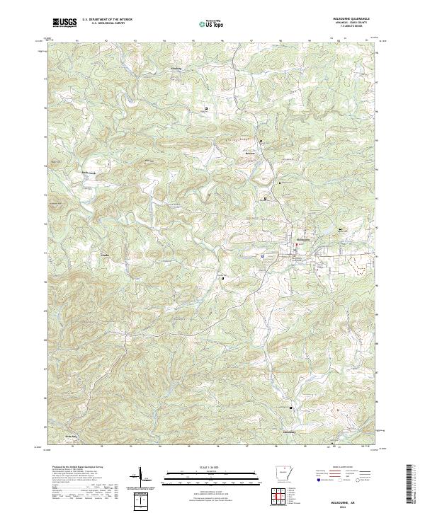
2024 Map of Melbourne
USGS Topo · Published 2024About this map
Melbourne serves as the focal point of this North Central Arkansas landscape, anchored by the Izard County Courthouse and the campus of Ozarka College. The surrounding terrain is a network of ridges and drainages, most notably Brushy Ridge and Bald Mtn, which define the local watershed for various branches of Mill-Creek and Big Hurricane Creek. This modern survey illustrates the persistent rural settlement patterns of the Ozarks, where small communities like Newburg, Jumbo, and Lone Star are connected by a web of county roads including Larkin Rd and Jumbo Rd. Genealogists will find a significant distribution of family and community burial sites, from Page Cem in the north to Lunenburg Cem near the southern settlement of Lunenburg. The map provides a clear picture of the modern infrastructure and historic landmarks that continue to define Izard County's social and geographic identity.
Find a feature on this map
135 named features on this map. Tap any name to fly to it.
Don’t see what you’re looking for? This feature index may not catch every label — zoom into the map to look around manually.
Map Details
Editions of this 2024 Melbourne Map
This is the sole edition of this map. No revisions or reprints were ever made.
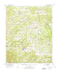
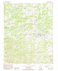
Historical Maps of Jumbo Through Time
3 maps found