
1919 Map of Melgrove
USGS Topo · Published 1919About this map
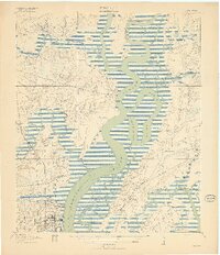
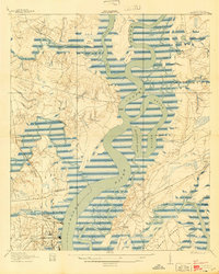
The lowcountry landscape of South Carolina is defined by the winding course of the Cooper River and its intricate network of tidal creeks just after the First World War. Early development in North Charleston is visible in the lower southwest corner, where the Southern and Seaboard Air Line railroads converge near the industrial riverfront. This 1919 edition, published from a 1918 survey, shows a region still largely agricultural and maritime, characterized by numerous river landings such as Redbank Landing and Venning Landing. The geography is fragmented by water, including the Back River and its Slack Reach, creating significant landmasses like Daniel Island and Thomas Island. Community life is anchored by local institutions, notably St.Johns Church and Mary Ann Church, along with the No 6 School situated near the headwaters of Yellow House Creek.
Find a feature on this map
39 named features on this map. Tap any name to fly to it.
Don’t see what you’re looking for? This feature index may not catch every label — zoom into the map to look around manually.
Map Details
Editions of this 1919 Melgrove Map
3 editions found
Other maps of this area

1919 · Ladson
USGS Topo · 1:21,120

1919 · Johns Island
USGS Topo · 1:21,120

1919 · Summerville
USGS Topo · 1:48,000

1919 · Wando
USGS Topo · 1:21,120

1919 · Cordesville
USGS Topo · 1:48,000

1919 · Charleston
USGS Topo · 1:21,120

1919 · Fort Moultrie
USGS Topo · 1:21,120

1920 · Ravenels
USGS Topo · 1:62,500

1920 · Summerville
USGS Topo · 1:62,500

1940 · Melgrove
USGS Topo · 1:24,000