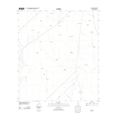
2013 Map of Melo
USGS Topo · Published 2013About this map
The settlement of Sarco and its nearby Sarco Cem stand at the southern edge of this landscape, where the coastal plains of Texas are defined by an extensive network of ranching infrastructure. This 2013 survey illustrates a region where water management is central to the land's utility, evidenced by a dense distribution of named windmills. These landmarks, such as Gin Windmill, Airfield Windmill, and Spangle Windmill, serve as navigational anchors across large holdings like Clip Ranch and Melo Ranch. The terrain is drained by a series of intermittent streams including Sarco Cr, Martinez Cr, and Arroyocita Cr, which converge as they move toward the coast. Significant topographical features like Keys Hollow and small water bodies such as Lake Windmill offer a detailed look at the local hydrology used by the Bissitt Ranch and other surrounding estates during the early 21st century.
Find a feature on this map
39 named features on this map. Tap any name to fly to it.
Don’t see what you’re looking for? This feature index may not catch every label — zoom into the map to look around manually.
Map Details
Editions of this 2013 Melo Map
This is the sole edition of this map. No revisions or reprints were ever made.
Other maps of this area

1953 · Beeville
USGS Topo · 1:250,000

1954 · Skidmore
USGS Topo · 1:62,500

1954 · Refugio
USGS Topo · 1:62,500

1956 · Beeville
USGS Topo · 1:250,000

1960 · Beeville
USGS Topo · 1:250,000

1962 · Live Oak Lake
USGS Topo · 1:24,000

1962 · Melo
USGS Topo · 1:24,000

1962 · Hensley Lake
USGS Topo · 1:24,000

1962 · Goliad
USGS Topo · 1:24,000

1963 · Berclair
USGS Topo · 1:24,000