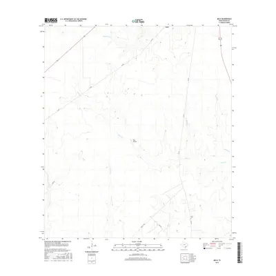
2016 Map of Melo
USGS Topo · Published 2016About this map
Sarco Cr and its many tributaries, including Arroyocita Cr and Elkins Br, define the drainage patterns of this Goliad County landscape. The small settlement of Melo sits in the northern section of the map, while the historic Sarco Cem remains a primary landmark for genealogists and local historians in the southeast. The terrain is marked by distinct features such as Keys Hollow and the drainage of Martinez Cr, illustrating the subtle topography typical of the south-central Texas coastal plains. Local road networks, including Clip Rd and FM 2441, connect these rural homesteads and family-named landmarks across a landscape primarily shaped by the creeks and branches that feed the regional watershed.
Find a feature on this map
15 named features on this map. Tap any name to fly to it.
Don’t see what you’re looking for? This feature index may not catch every label — zoom into the map to look around manually.
Map Details
Editions of this 2016 Melo Map
This is the sole edition of this map. No revisions or reprints were ever made.
Other maps of this area

1953 · Beeville
USGS Topo · 1:250,000

1954 · Skidmore
USGS Topo · 1:62,500

1954 · Refugio
USGS Topo · 1:62,500

1956 · Beeville
USGS Topo · 1:250,000

1960 · Beeville
USGS Topo · 1:250,000

1962 · Live Oak Lake
USGS Topo · 1:24,000

1962 · Melo
USGS Topo · 1:24,000

1962 · Hensley Lake
USGS Topo · 1:24,000

1962 · Goliad
USGS Topo · 1:24,000

1963 · Berclair
USGS Topo · 1:24,000