
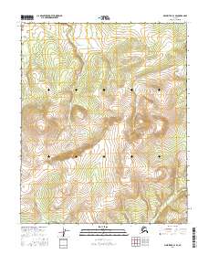
2016 Map of Melozitna C-3 SW
USGS Topo · Published 2016About this map
The interior of the Melozitna region in central Alaska is defined by a rhythmic succession of high ridges and deep valleys, captured here as they appeared in 2016. The terrain is structured by the Public Land Survey System, with the landscape divided across T2n R21e, T2n R22e, and portions of the surrounding townships. Elevations on this sheet reach significant heights, indicated by a dense network of contours that trace the steep gradients common to the Yukon-Koyukuk region. This topographic survey documents the wilderness character of the area, devoid of named settlements or improved roads, focusing instead on the complex drainage patterns and geomorphology of the interior. The data synthesis includes modern wetland inventories and high-resolution elevation models to provide a precise anatomical view of the Alaskan backcountry before potential future development or geological shifts.
Find a feature on this map
6 named features on this map. Tap any name to fly to it.
Don’t see what you’re looking for? This feature index may not catch every label — zoom into the map to look around manually.
Map Details
Editions of this 2016 Melozitna C-3 SW Map
This is the sole edition of this map. No revisions or reprints were ever made.
Other maps of this area

1951 · Melozitna
USGS Topo · 1:250,000

1954 · Melozitna B-3
USGS Topo · 1:63,360

1954 · Melozitna C-4
USGS Topo · 1:63,360
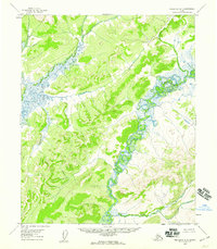
1954 · Melozitna B-4
USGS Topo · 1:63,360

1954 · Melozitna C-3
USGS Topo · 1:63,360

1956 · Melozitna
USGS Topo · 1:250,000
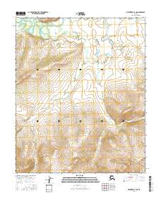
2016 · Melozitna B-3 NE
USGS Topo · 1:25,000
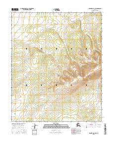
2016 · Melozitna C-3 NE
USGS Topo · 1:25,000
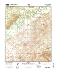
2016 · Melozitna B-3 NW
USGS Topo · 1:25,000
2016 · Melozitna C-4 SE
USGS Topo · 1:25,000