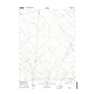
2016 Map of Memphis
USGS Topo · Published 2016About this map
The agrarian landscape of Clinton and Fayette counties unfolds in this 2016 survey, where the intersection of drainage ditches and small creeks defines the rural topography. The small settlements of Memphis and Georgetown serve as local anchors within an area dominated by agricultural parcels and a dense network of township roads. The map reveals a high concentration of family and community burial grounds, such as Luttrell Cem and Richland Cem, which provide significant points of interest for genealogical research in this part of Ohio.
Find a feature on this map
64 named features on this map. Tap any name to fly to it.
Don’t see what you’re looking for? This feature index may not catch every label — zoom into the map to look around manually.
Map Details
Editions of this 2016 Memphis Map
This is the sole edition of this map. No revisions or reprints were ever made.
Other maps of this area

1906 · Mt Sterling
USGS Topo · 1:62,500

1916 · Octa
USGS Topo · 1:62,500

1917 · Greenfield
USGS Topo · 1:62,500

1917 · Sabina
USGS Topo · 1:62,500

1943 · Sabina
USGS Topo · 1:62,500

1944 · Greenfield
USGS Topo · 1:62,500

1944 · Octa
USGS Topo · 1:62,500

1947 · Columbus
USGS Topo · 1:250,000

1960 · Greenfield
USGS Topo · 1:24,000
1960 · Leesburg
USGS Topo · 1:24,000