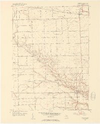
1952 Map of Memphis
USGS Topo · Published 1953About this map
The Belle River meanders through the heart of this rural landscape, defining the topography near the St Clair Co Macomb Co line. In the early 1950s, this area remained largely agrarian, anchored by the settlement of Memphis in the southeast and smaller clusters like Riley Center and Tallmadge. The survey reflects a decentralized community structure, where numerous local schoolhouses such as O'Connor Sch, Reil Sch, and Bywater Sch served the surrounding farmsteads along a grid of section roads.
Find a feature on this map
52 named features on this map. Tap any name to fly to it.
Don’t see what you’re looking for? This feature index may not catch every label — zoom into the map to look around manually.
Map Details
Editions of this 1952 Memphis Map
2 editions found

Other maps of this area

1914 · Armada
USGS Topo · 1:62,500

1928 · Armada
USGS Topo · 1:62,500

1928 · Hicky
USGS Topo · 1:62,500

1939 · Adair
USGS Topo · 1:24,000

1939 · Goodells
USGS Topo · 1:24,000

1944 · Memphis
USGS Topo · 1:24,000

1945 · Armada
USGS Topo · 1:24,000

1945 · Allenton
USGS Topo · 1:24,000

1945 · Richmond
USGS Topo · 1:24,000

1952 · Allenton
USGS Topo · 1:24,000