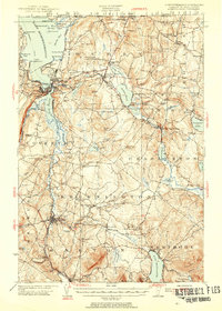
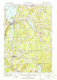
1953 Map of Memphremagog
USGS Topo · Published 1955About this map
The Canadian border defines the northern edge of this Vermont landscape, where the Canadian Pacific railroad and the steamboat route through Lake Memphremagog formed the primary transit corridors for the mid-century economy. Settlement is concentrated in established hubs like Newport and Barton, while the interior of the quadrangle is marked by a network of rural schools including Bowers School and Heath School. Industry is visible through the Willey Granite Quarry and the Gravel Pit near the Newport Airport. The terrain is characterized by numerous glacial ponds and lakes, from the deep waters of Lake Willoughby to the smaller Salem Pond and Cobb Pond. This era shows a high density of small family-named cemeteries such as Kelsey Cem and Crandall Cem, providing a detailed record of the local genealogy and land ownership in Orleans County during the early 1950s.
Find a feature on this map
108 named features on this map. Tap any name to fly to it.
Don’t see what you’re looking for? This feature index may not catch every label — zoom into the map to look around manually.
Map Details
Editions of this 1953 Memphremagog Map
5 editions found
Other maps of this area

1919 · Lake Memphremagog
USGS Topo · 1:62,500

1920 · Derby
USGS Topo · 1:62,500

1920 · Irasburg
USGS Topo · 1:62,500

1923 · Irasburg
USGS Topo · 1:48,000

1923 · Lake Memphremagog
USGS Topo · 1:48,000

1924 · Island Pond
USGS Topo · 1:48,000

1925 · Irasburg
USGS Topo · 1:62,500

1925 · Memphremagog
USGS Topo · 1:62,500

1926 · Island Pond
USGS Topo · 1:62,500

1928 · Hardwick
USGS Topo · 1:62,500