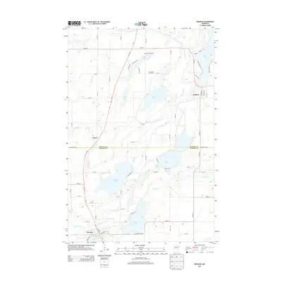
2013 Map of Menahga
USGS Topo · Published 2013About this map
Menahga serves as the primary hub at the southern edge of this Minnesota landscape, situated where the Blueberry River flows near Spirit Lake. The geography is defined by a dense network of water, including the large expanse of Blueberry Lake and the smaller Stocking Lake to its south. In the north, the settlement of Hubbard sits near the winding Fishhook River and Long Lake, while Horton occupies a central western position near the upper reaches of the Shell River.
Find a feature on this map
53 named features on this map. Tap any name to fly to it.
Don’t see what you’re looking for? This feature index may not catch every label — zoom into the map to look around manually.
Map Details
Editions of this 2013 Menahga Map
This is the sole edition of this map. No revisions or reprints were ever made.
Other maps of this area

1953 · Brainerd
USGS Topo · 1:250,000

1957 · Brainerd
USGS Topo · 1:250,000

1958 · Brainerd
USGS Topo · 1:250,000

1965 · Brainerd
USGS Topo · 1:250,000

1969 · Park Rapids
USGS Topo · 1:24,000

1969 · Menahga
USGS Topo · 1:24,000

1969 · Park Rapids SW
USGS Topo · 1:24,000

1969 · Sebeka
USGS Topo · 1:24,000

1969 · Sebeka NW
USGS Topo · 1:24,000
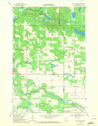
1969 · Park Rapids NW
USGS Topo · 1:24,000