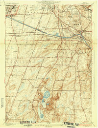
1935 Map of Mendon Ponds
USGS Topo · Published 1935About this map
State Hospital and the Iola Sanitarium anchor the northern edge of this mid-1930s landscape, illustrating the institutional footprint south of Rochester. The transition from city to countryside is marked by the wide arc of the Barge Canal and a dense network of numbered schoolhouses, such as School No 9 and School No 1, which served the growing townships of Brighton and Pittsford. This era shows a complex mix of social infrastructure and private recreation, with the Nazareth Convent and Normal School situated near prominent sporting grounds like the Oak Hill Country Club.
Find a feature on this map
58 named features on this map. Tap any name to fly to it.
Don’t see what you’re looking for? This feature index may not catch every label — zoom into the map to look around manually.
Map Details
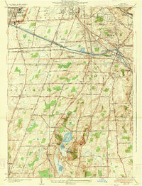
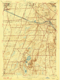
Editions of this 1935 Mendon Ponds Map
3 editions found
Other maps of this area

1895 · Rochester
USGS Topo · 1:62,500

1898 · Rochester
USGS Topo · 1:62,500

1900 · Macedon
USGS Topo · 1:62,500

1900 · Canandaigua
USGS Topo · 1:62,500

1901 · Honeoye
USGS Topo · 1:62,500

1903 · Canandaigua
USGS Topo · 1:62,500

1904 · Honeoye
USGS Topo · 1:62,500

1912 · Rochester
USGS Topo · 1:62,500

1920 · Rochester
USGS Topo · 1:62,500

1931 · Mendon Ponds
USGS Topo · 1:24,000