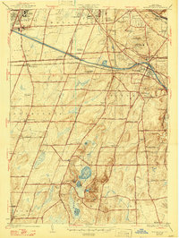
1935 Map of Mendon Ponds
USGS Topo · Published 1947About this map
The glacial kettle lakes and drumlins of Mendon Ponds Park dominate the southern landscape of this mid-century survey, which documents the rural outskirts of Rochester before post-war suburbanization. Waterways define the northern corridor, where the active Barge Canal flows parallel to the Erie Canal (Abandoned), illustrating the evolution of New York's primary transit artery. The map provides a detailed view of institutional land use, showing the State Hospital, Iola Sanitarium, and the Monroe Co Home and Infirmary at the city's edge.
Find a feature on this map
81 named features on this map. Tap any name to fly to it.
Don’t see what you’re looking for? This feature index may not catch every label — zoom into the map to look around manually.
Map Details
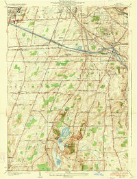
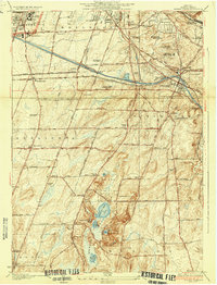
Editions of this 1935 Mendon Ponds Map
3 editions found
Other maps of this area

1895 · Rochester
USGS Topo · 1:62,500

1898 · Rochester
USGS Topo · 1:62,500

1900 · Macedon
USGS Topo · 1:62,500

1900 · Canandaigua
USGS Topo · 1:62,500

1901 · Honeoye
USGS Topo · 1:62,500

1903 · Canandaigua
USGS Topo · 1:62,500

1904 · Honeoye
USGS Topo · 1:62,500

1912 · Rochester
USGS Topo · 1:62,500

1920 · Rochester
USGS Topo · 1:62,500

1931 · Mendon Ponds
USGS Topo · 1:24,000