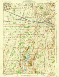
1935 Map of Mendon Ponds
USGS Topo · Published 1935About this map
Mendon Ponds Park and the surrounding townships south of Rochester are captured here just as aerial photography began to enhance traditional surveying methods. The landscape is defined by a dense network of educational and institutional sites, including the Iola Sanitarium and the Nazareth Convent and Normal School. The region’s infrastructure is anchored by the Barge Canal and major rail lines like the New York Central Railroad and the West Shore Line, which facilitated the growth of suburban settlements like Pittsford and East Rochester.
Find a feature on this map
62 named features on this map. Tap any name to fly to it.
Don’t see what you’re looking for? This feature index may not catch every label — zoom into the map to look around manually.
Map Details
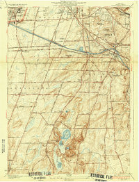
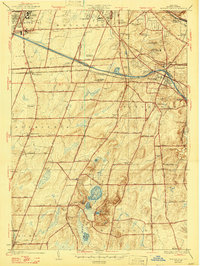
Editions of this 1935 Mendon Ponds Map
3 editions found
Other maps of this area

1895 · Rochester
USGS Topo · 1:62,500

1898 · Rochester
USGS Topo · 1:62,500

1900 · Macedon
USGS Topo · 1:62,500

1900 · Canandaigua
USGS Topo · 1:62,500

1901 · Honeoye
USGS Topo · 1:62,500

1903 · Canandaigua
USGS Topo · 1:62,500

1904 · Honeoye
USGS Topo · 1:62,500

1912 · Rochester
USGS Topo · 1:62,500

1920 · Rochester
USGS Topo · 1:62,500

1931 · Mendon Ponds
USGS Topo · 1:24,000