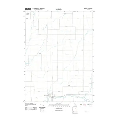
2011 Map of Mendon
USGS Topo · Published 2011About this map
The Saint Joseph River winds across the southern portion of this landscape, defining the character of Mendon, where the Mendon Post Office and local landmarks are concentrated. The area is marked by a dense network of watercourses including Little Portage Creek, Butternut Creek, and Bear Creek, which feed into the larger river system. To the west, Portage Lake and the Portage River further illustrate the region's reliance on these natural drainages.
Find a feature on this map
66 named features on this map. Tap any name to fly to it.
Don’t see what you’re looking for? This feature index may not catch every label — zoom into the map to look around manually.
Map Details
Editions of this 2011 Mendon Map
This is the sole edition of this map. No revisions or reprints were ever made.
Other maps of this area

1914 · Three Rivers
USGS Topo · 1:62,500

1916 · Three Rivers
USGS Topo · 1:62,500

1918 · Leonidas
USGS Topo · 1:62,500

1922 · Schoolcraft
USGS Topo · 1:62,500

1943 · Three Rivers
USGS Topo · 1:62,500

1943 · Schoolcraft
USGS Topo · 1:62,500

1944 · Leonidas
USGS Topo · 1:62,500

1947 · Leonidas
USGS Topo · 1:62,500

1950 · Leonidas
USGS Topo · 1:62,500

1953 · Fort Wayne
USGS Topo · 1:250,000